Levi Ski Resort
Levi Ski Resort App
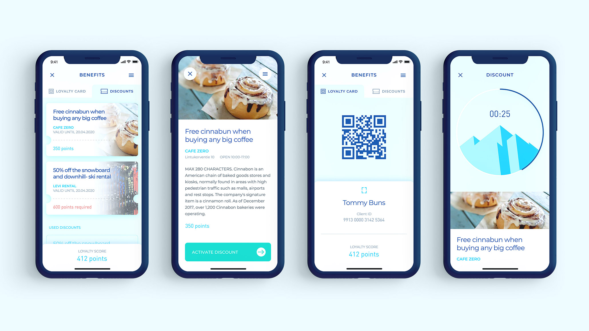
The Levi Resort application provides quick and easy access to all of Levi Ski Resort’s outdoor adventures. On top of innovative slope & lift services it’s the key to the Levi Ski Resort loyalty program.
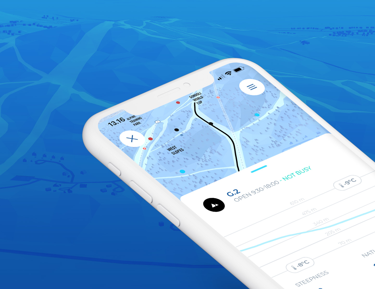
The new Levi Resort app is the essential digital companion for all visitors off the Ski Resort. On top of innovative slope & lift services it’s the key to the Levi Ski Resort loyalty program.
All directions & dimensions
Traditional maps flatten the terrain into two dimensions and, in most situations, such projections serve their purpose perfectly. However, Levi Resort sprawls all over a 531 meters high fell of which slopes and lifts descend from the peak in all directions. Navigating from one slope to another, therefore, requires unrestricted ability to change one’s perspective and perceive the fell in three dimensions.
All ready-made solutions proved inadequate for ensuring efficient navigation, as well as too limited for adequate map or data visualization. Lack of viable options meant the necessity to design and implement a solution tailored specifically for Levi.
Real-time contextual and spatial data visualization
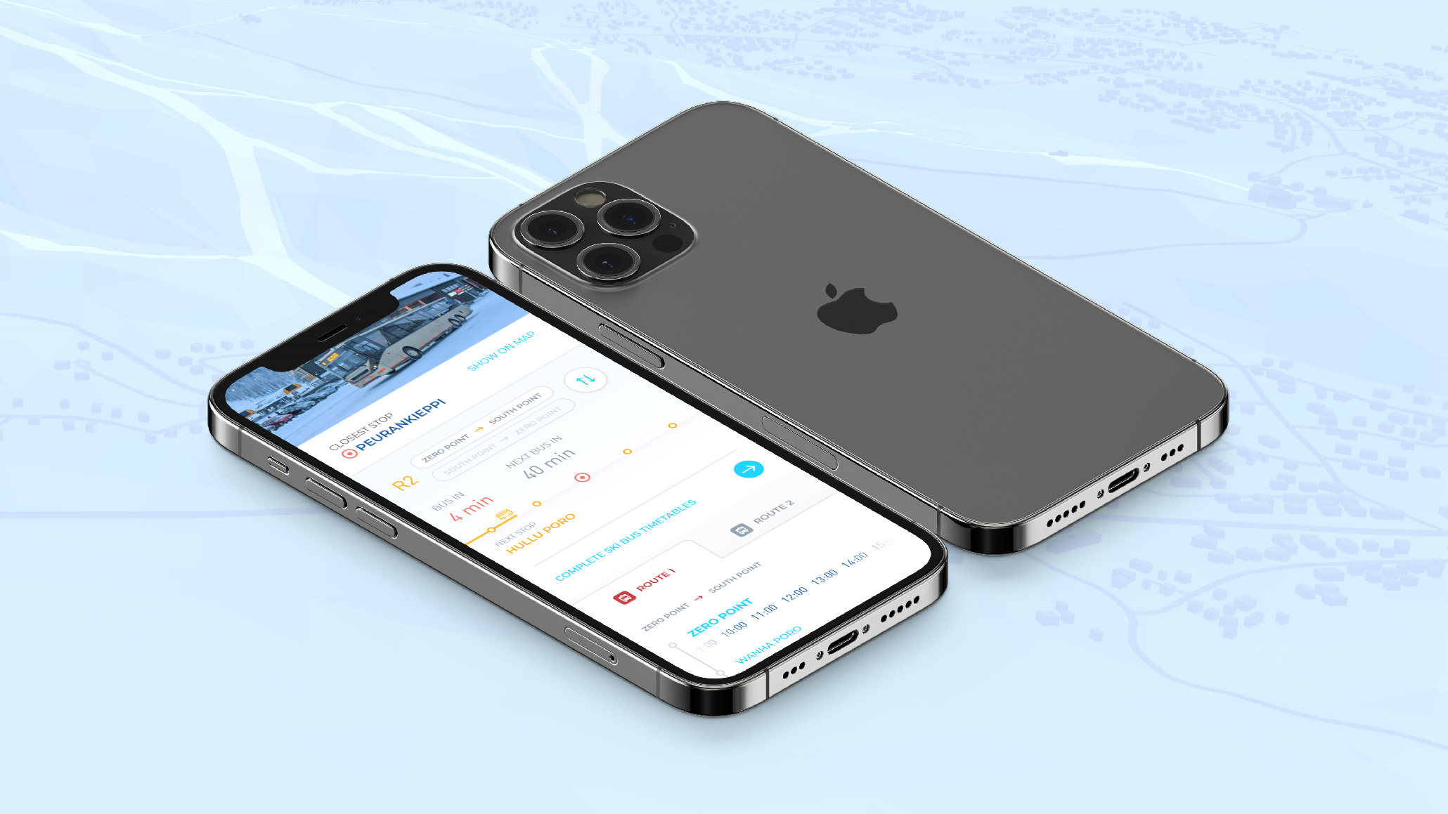
A broad range of comprehensive information about the resort’s services has been included in the application. There are numerous slopes and lifts with all of their details; up-to-date opening hours, hyperlocal weather, as well as real-time ski bus and snowcat tracking. Slope safety services, ticket machines, restaurants and shops in the area are all clearly marked on the interactive layer of the map.
The app utilizes a number of data sources; Levi Ski Resort’s multi-channel content management system, snow cannons integrated and separate IoT weather stations, the Finnish Meteorological Institute’s weather forecast, as well as, operator location data and GPS chips for vehicle positioning.

Open geodata & tailored map projection
The map of the fell and the surrounding areas was modeled using open data sources such as the National Institute of Survey’s extremely accurate elevation data and OpenStreetMap data for roads, buildings, and landmarks. In addition to these, Levi Ski Resort’s own technical drawings, on which the slope maps and zoning are based, were utilized in the design and modeling process.
The final appearance of the map is based on a custom projection using distortion to emphasize fell’s features at low detail, to which the geodata was fitted programmatically. The geographical model was supplemented by a manual modeling and free-hand refinement of slope areas, woodlands and other terrain details.
Timeless and efficient aesthetics
In the early stages of design, we concluded that aerial imagery and the pursuit of photorealism, although tempting and useful in some cases, are at odds with almost all of our needs.
With the readability of the infographics being of most importance, the visualization of the area ended up as a technically elaborate but visually simple and beautiful solution in terms of the shape, lighting and texturing. A low-poly 3D model was chosen as a core visual, with separately modelled/lit/textured more detailed slope geometry and other important details cut with high precision.
The whole scene is rendered on the phone screen with a custom OpenGL-based rendering pipeline at a smooth frame rate.
Built to last
The Levi app was implemented with React Native technology and released both for iOS and Android devices. The technology selection was made with the development and maintenance costs in mind; more than 90% of the code is shared between the two platforms, which means that almost all of the development and quality assurance can be done platform-independently.
The chosen technical solution also did not force the abandonment of any of the planned features, making everything feasible including a fully customized visual look and an advanced OpenGL-based map engine.
In terms of architecture, documentation, and maintenance processes, the application is a model example of the implementation of good DevOps practices, bringing significant flexibility, stability, and ease of use to all parties involved both in support and development.
